The agency is making £2.5 million available to five projects.
This was announced at the European Space Agency’s Living Planet Symposium 2025, in Vienna. It follows a joint call for proposals from the UK Space Agency and ESA’s InCubed2 programme.
The projects range from tracking tiny movements in buildings and sustainable farming to accounting for greenhouse gases, and a biodiversity mapping tool
The five selected projects comprise “CORE” (COrner Reflector Enabled Remote Sensing) and THICKET, a biodiversity mapping tool. And there’s also the GHGSat methane tracking service in London, “FANTOM” for environmental monitoring, and EO4Biodiversity, to help improve plant and animal diversity
Practical benefits
Harshbir Sangha, Director of Missions and Capabilities at the UK Space Agency commented:
“By bringing together innovative space companies with public sector partners, we’re demonstrating that space technology delivers practical benefits here on Earth. From monitoring biodiversity to ensuring infrastructure safety, these initiatives show how satellite data can drive efficiency, sustainability and better decision-making.”
“This investment reflects our commitment to establishing the UK as a global leader in space-enabled public services, he added. “Creating a blueprint for how space technology can address some of our most pressing societal challenges.”
Five projects
The five projects are described in the words of the UKSA itself below:
CORE: COrner Reflector Enabled Remote Sensing
Geospatial Ventures in Nottingham is developing a system that tracks tiny movements in buildings, bridges and other structures to spot potential safety issues early. The system uses special radar technology and artificial intelligence to constantly monitor infrastructure that might be difficult or expensive to check manually. This provides a safer, more efficient way to survey large sites without sending engineers to dangerous locations.
THICKET: a biodiversity mapping tool
AAC Clyde Space in Glasgow is creating a tool that helps farmers support wildlife on their land. Using their own constellation of satellites that frequently capture detailed images, the system will show farmers exactly what habitats are available on their land. This will help farmers make better decisions about sustainable farming and access government support schemes like the Sustainable Farming Incentive.
Government GHG service
GHGSat UK in London is developing an advanced analytics platform that turns satellite data about greenhouse gases into practical information the government can use for increased accountability across emitting organisations and tailored mitigation strategies. Their constellation of satellites, which trace the source of greenhouse gases directly to industrial facilities focuses particularly on methane, providing accurate data within hours of an emission to help the UK government make informed decisions about reducing these harmful gases. This supports the government’s goal to reach net-zero emissions by 2050.
FANTOM – Future Analytics
Earth-i in Guildford is building a system that creates useful environmental information from satellite images by developing novel indicators for environmental land monitoring. It will provide analytics directly to the Rural Payments Agency, which manages farming subsidies and environmental schemes. The service will help monitor land changes and support sustainable land management across the UK.
EO4Biodiversity
HR Wallingford in Oxfordshire is leading a project that uses satellite information to help improve plant and animal diversity. Working with multiple partners, including Water Resources South East, they’re developing ways to use Earth Observation data to track biodiversity changes over time. This will help landowners, developers and public bodies protect and enhance natural habitats and support the UK government’s biodiversity net gain requirements.
Climate concerns
Note that the UK Space Agency is also due to launch a separate climate funding call, it says.
It will be offering up to £300,000 in funding. This is to help UK organisations develop new climate services using Earth Observation satellite data. The small grants will between £40,000 and £80,000 per project.
The UKSA say the grants are aimed at supporting early ideas. They will “improve tools or services for tackling climate change, protecting nature, or helping society make more informed decisions”.
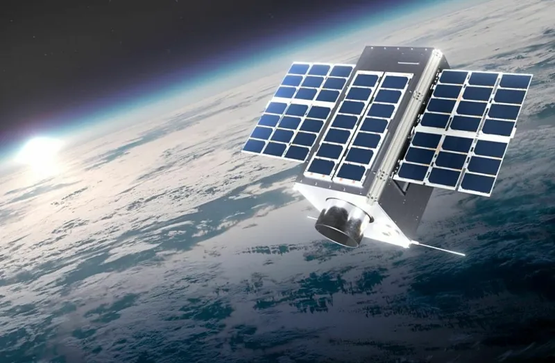
Image: GHGSat – GHGSat C10, which it describes as the “first ever commercial CO2 monitoring sensor” in space
See also: UK Space Agency backs Excelerate for multi-beam satellite antenna